The National Archives of The Netherlands has a collection of more than 300,000 maps and drawings, including over 400 atlases. Many of these maps are drawn by hand and are therefore unique documents. Highlights from this historic collection are currently on show at the Archives as part of the exhibition On The Map.
The exhibition also features maps related to the Dutch colonial past, including the relationship with Indonesia. Prominent among these are several historic Javanese maps that have only recently been rediscovered in the Archives’ collections. This unique series of hand drawn maps were made around 1825 by the original inhabitants of Java. They show several districts of the Semarang region in Central Java. The maps are thought to have been made by or for the local demang (district head).
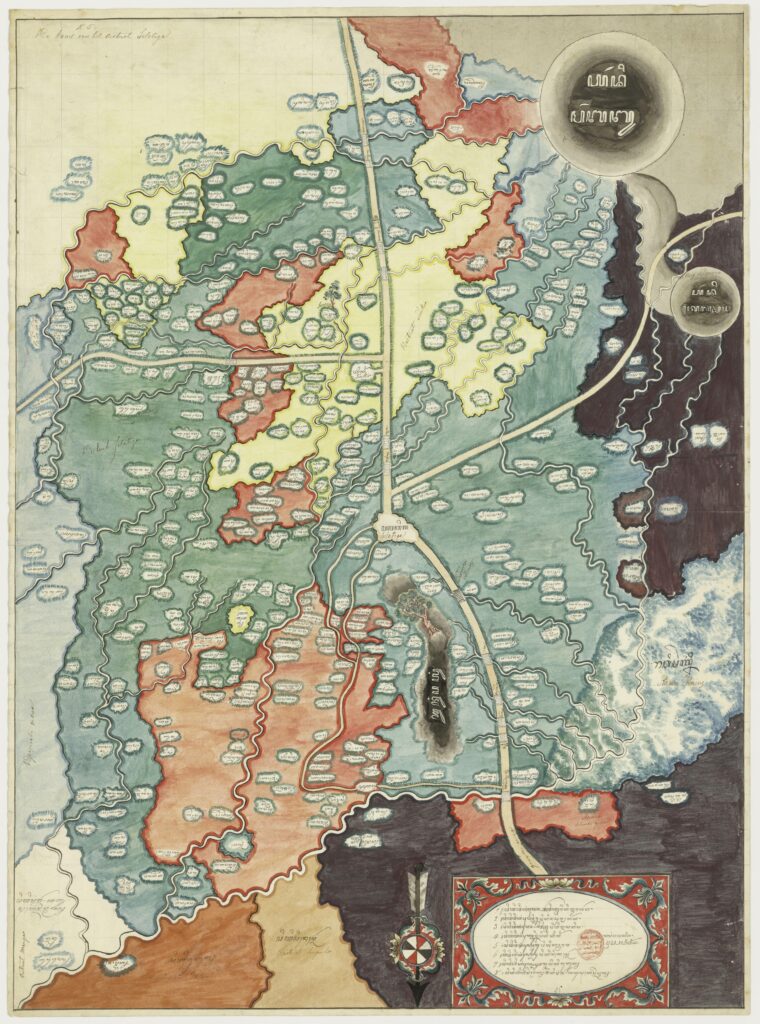
Javanese map of the Selotigo district, maker unknown, ca. 1825 (collection National Archives of the Netherlands)
The colourful Javanese maps give evidence of a very different map making tradition than the methods used by European cartographers of the time. Research by Professor dr. Bernard Arps (Professor in Indonesian & Javanese Language and Culture at Leiden University) has revealed that the maps are extremely rare. The series of 11 Javanese maps currently held by the Dutch National Archives is the largest known collection in the world.
Thanks in part to the generous support of the Marinus Plantema Foundation, these beautiful Javanese maps are now on display for the public for the first time. The exhibition On The Map runs from 10 February – 22 October 2023 at the National Archives of the Netherlands (closed on Mondays). For visitor information, please see: On the Map | Nationaal Archief
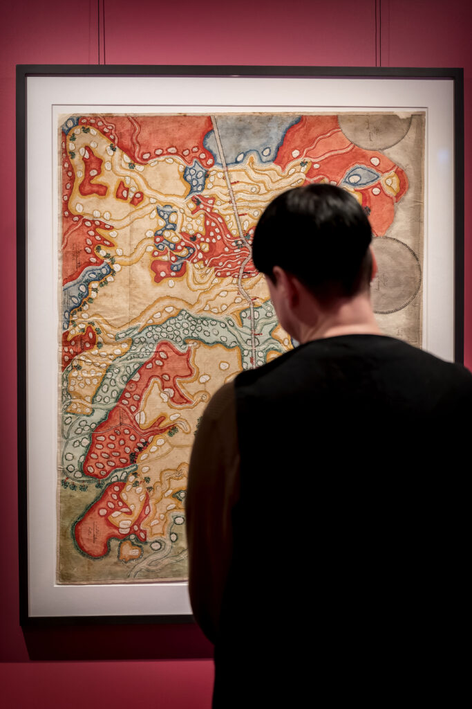
Visitor with Javanese map in the exhibition On The Map (photo credit: Valerie Kuypers)